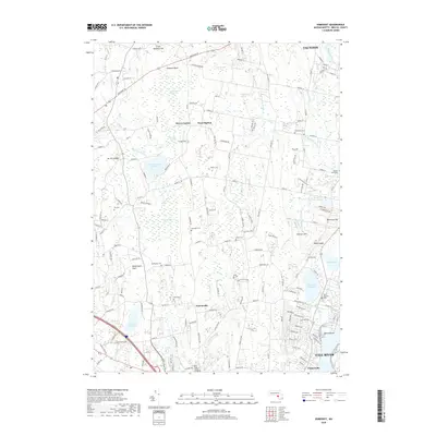
2018 Map of Somerset
USGS Topo · Published 2018About this map
Hortonville and West Dighton anchor this Bristol County landscape, where the tidal reaches of the Segreganset River and Cole River meet a complex network of wetlands and wooded uplands. In the late 2010s, this area reflects a distinct pattern of historical New England settlement, with numerous family and community burial grounds such as Hix Cem and Bosworth Cem scattered among the residential growth. Significant water management features, including the Warren Upper Reservoir and Somerset Reservoir, dominate the western and eastern portions of the map, while the northern reaches are defined by expansive natural areas like Squannakonk Swamp and Poppasquash Swamp. To the south, the transition into Pottersville and the fringes of Fall River marks the shift toward the more densely populated coastal corridor, with Pierce Beach providing a public point of contact with the Taunton waterfront.
Find a feature on this map
167 named features on this map. Tap any name to fly to it.
Don’t see what you’re looking for? This feature index may not catch every label — zoom into the map to look around manually.
Map Details
Editions of this 2018 Somerset Map
This is the sole edition of this map. No revisions or reprints were ever made.
Other maps of this area

1885 · Taunton
USGS Topo · 1:62,500

1887 · Providence
USGS Topo · 1:62,500

1888 · Fall River
USGS Topo · 1:62,500

1888 · Taunton
USGS Topo · 1:62,500

1889 · Providence
USGS Topo · 1:62,500

1890 · Narragansett Bay
USGS Topo · 1:62,500

1892 · Narragansett Bay
USGS Topo · 1:62,500

1893 · Taunton
USGS Topo · 1:62,500

1893 · Fall River
USGS Topo · 1:62,500

1894 · Providence
USGS Topo · 1:62,500