2021 Map of Somerset
USGS Topo · Published 2021About this map
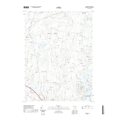
Hortonville and West Dighton anchor this survey of Bristol County, where the landscape is defined by the complex drainage systems of the Palmer River and Segreganset River. The map reveals a dense network of local cemeteries, such as Hathaway Cem and Dighton Town Cem, which serve as critical markers for genealogical research in these established Massachusetts communities. To the south, the city of Fall River meets the water at The Creek and Pierce Beach, while the interior remains characterized by extensive wetlands like Manwhague Swamp and Poppasquash Swamp. Notable landmarks such as Annawan Rock and Mt Terrydiddle rise above the surrounding plains, providing historical continuity to a region balancing its industrial riverfront roots with its inland agricultural and forested tracts. This 2021 update documents the modern road network, including Winthrop St and Bay State Rd, as they navigate around large water bodies like the Somerset Reservoir.
Find a feature on this map
57 named features on this map. Tap any name to fly to it.
Don’t see what you’re looking for? This feature index may not catch every label — zoom into the map to look around manually.
Map Details
Editions of this 2021 Somerset Map
This is the sole edition of this map. No revisions or reprints were ever made.
Other maps of this area

1885 · Taunton
USGS Topo · 1:62,500

1887 · Providence
USGS Topo · 1:62,500

1888 · Fall River
USGS Topo · 1:62,500

1888 · Taunton
USGS Topo · 1:62,500

1889 · Providence
USGS Topo · 1:62,500

1890 · Narragansett Bay
USGS Topo · 1:62,500

1892 · Narragansett Bay
USGS Topo · 1:62,500

1893 · Taunton
USGS Topo · 1:62,500

1893 · Fall River
USGS Topo · 1:62,500

1894 · Providence
USGS Topo · 1:62,500