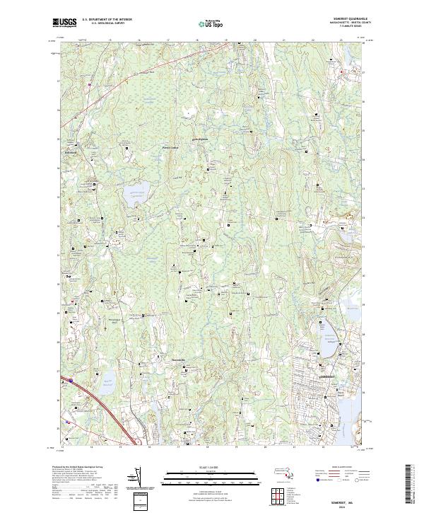
2024 Map of Somerset
USGS Topo · Published 2024About this map
The Taunton Wild and Scenic River forms the eastern boundary of this Bristol County landscape, where the town of Somerset meets the tidal reaches of Broad Cove and Muddy Cove Pond. The area is remarkably dense with family-named burial grounds and historical cemeteries, suggesting a long-established rural settlement pattern that persists alongside modern reservoirs. Large wetland systems like Squannakonk Swamp and Manwhague Swamp define the inland geography, punctuated by local heights such as Great Meadow Hill and Hunters Hill.
Find a feature on this map
234 named features on this map. Tap any name to fly to it.
Don’t see what you’re looking for? This feature index may not catch every label — zoom into the map to look around manually.
Map Details
Editions of this 2024 Somerset Map
This is the sole edition of this map. No revisions or reprints were ever made.
Other maps of this area

1885 · Taunton
USGS Topo · 1:62,500

1887 · Providence
USGS Topo · 1:62,500

1888 · Fall River
USGS Topo · 1:62,500

1888 · Taunton
USGS Topo · 1:62,500

1889 · Providence
USGS Topo · 1:62,500

1890 · Narragansett Bay
USGS Topo · 1:62,500

1892 · Narragansett Bay
USGS Topo · 1:62,500

1893 · Taunton
USGS Topo · 1:62,500

1893 · Fall River
USGS Topo · 1:62,500

1894 · Providence
USGS Topo · 1:62,500