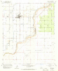
1965 Map of Somerton
USGS Topo · Published 1966About this map
Somerton stands as a hub of irrigation and agriculture in this mid-1960s survey of the lower Colorado River valley. The landscape is defined by an intricate network of water management features, including the Main Canal, East Main Canal, and Somerton Canal, which feed a grid of lateral lines such as the Bondesson Lateral and Bronk Lateral. This infrastructure supports intensive cultivation, notably the University of Arizona Agricultural Experiment Sta and the Yuma Indian Homesteads. To the south, the irrigated fields give way to the arid Yuma Desert, where the Yuma No 4 Airfield and various jeep trails mark the transition into open terrain. The map also delineates the boundary of the Cocopah Indian Reservation, illustrating the complex intersection of federal, tribal, and agricultural land use during this era of southwestern expansion.
Find a feature on this map
40 named features on this map. Tap any name to fly to it.
Don’t see what you’re looking for? This feature index may not catch every label — zoom into the map to look around manually.
Map Details
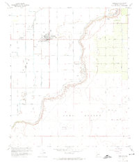
Editions of this 1965 Somerton Map
2 editions found
Other maps of this area

1903 · Yuma
USGS Topo · 1:125,000

1905 · Yuma
USGS Topo · 1:125,000

1940 · Yuma
USGS Topo · 1:62,500

1942 · Yuma
USGS Topo · 1:250,000

1945 · Yuma
USGS Topo · 1:62,500

1952 · Yuma East
USGS Topo · 1:24,000

1952 · Yuma West
USGS Topo · 1:24,000
1953 · Grays Well NE
USGS Topo · 1:24,000

1954 · El Centro
USGS Topo · 1:250,000

1955 · El Centro
USGS Topo · 1:250,000