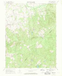
1966 Map of Somerville
USGS Topo · Published 1969About this map
Quantico Marine Corps Schools dominates the central and eastern portions of this Fauquier County landscape, reflecting the military's significant footprint in Northern Virginia during the mid-1960s. The map illustrates a rural social structure anchored by small settlements like Bristersburg, Somerville, and Hearts Delight, each centered around local crossroads and community institutions. Numerous family-named landmarks and places of worship, including Zoar Ch and Mt Horeb Ch, speak to the deep-rooted genealogical history of the region.
Find a feature on this map
44 named features on this map. Tap any name to fly to it.
Don’t see what you’re looking for? This feature index may not catch every label — zoom into the map to look around manually.
Map Details
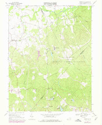
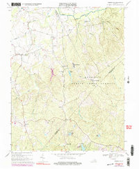
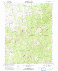
Editions of this 1966 Somerville Map
4 editions found
Other maps of this area

1887 · Spottsylvania
USGS Topo · 1:125,000

1889 · Fredericksburg
USGS Topo · 1:125,000

1890 · Mt. Vernon
USGS Topo · 1:125,000

1891 · Mt. Vernon
USGS Topo · 1:125,000

1892 · Fredericksburg
USGS Topo · 1:125,000

1892 · Spottsylvania
USGS Topo · 1:125,000

1894 · Warrenton
USGS Topo · 1:125,000

1894 · Fredericksburg
USGS Topo · 1:125,000

1894 · Mt. Vernon
USGS Topo · 1:125,000

1897 · Mt. Vernon
USGS Topo · 1:125,000