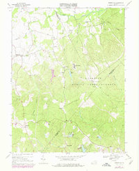
1966 Map of Somerville
USGS Topo · Published 1978About this map
The rolling Piedmont landscape of Fauquier, Prince William, and Stafford counties is defined here by a dense network of creek branches and small rural settlements during the mid-1960s. The northern portion of the map is dominated by the sprawling grounds of the Quantico Marine Corps Schools, featuring training sites like Camp Upshur and Camp Goettge. This military presence contrasts with the agrarian character of nearby Bristersburg and Somerville, where local life centered around a series of country churches including Zoar Ch, Mt Horeb Ch, and Calvary Ch.
Find a feature on this map
59 named features on this map. Tap any name to fly to it.
Don’t see what you’re looking for? This feature index may not catch every label — zoom into the map to look around manually.
Map Details
Editions of this 1966 Somerville Map
4 editions found
Other maps of this area

1887 · Spottsylvania
USGS Topo · 1:125,000

1889 · Fredericksburg
USGS Topo · 1:125,000

1890 · Mt. Vernon
USGS Topo · 1:125,000

1891 · Mt. Vernon
USGS Topo · 1:125,000

1892 · Fredericksburg
USGS Topo · 1:125,000

1892 · Spottsylvania
USGS Topo · 1:125,000

1894 · Warrenton
USGS Topo · 1:125,000

1894 · Fredericksburg
USGS Topo · 1:125,000

1894 · Mt. Vernon
USGS Topo · 1:125,000

1897 · Mt. Vernon
USGS Topo · 1:125,000