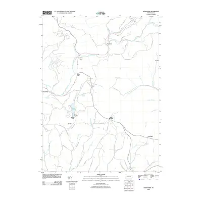
2010 Map of Sonestown
USGS Topo · Published 2010About this map
Sonestown and Muncy Valley serve as the primary hubs in this part of Sullivan County, situated along the winding course of Muncy Creek. The 2010 landscape is characterized by a network of rural hollows and family-named ridges, such as Robins Hill and Brown Hl, which have historically defined the region's scattered settlement pattern. Smaller hamlets like Beech Glen, Strawbridge, and Lungerville dot the road network, reflecting a quiet rural economy centered on the valley floors.
Find a feature on this map
75 named features on this map. Tap any name to fly to it.
Don’t see what you’re looking for? This feature index may not catch every label — zoom into the map to look around manually.
Map Details
Editions of this 2010 Sonestown Map
This is the sole edition of this map. No revisions or reprints were ever made.
Other maps of this area

1894 · Bloomsburg
USGS Topo · 1:62,500

1927 · Eagles Mere
USGS Topo · 1:48,000

1932 · Eagle Mere
USGS Topo · 1:62,500

1934 · Laporte
USGS Topo · 1:62,500

1935 · Hughesville
USGS Topo · 1:62,500

1947 · Benton
USGS Topo · 1:31,680
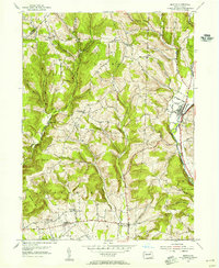
1953 · Benton
USGS Topo · 1:24,000

1953 · Hughesville
USGS Topo · 1:62,500

1953 · LaPorte
USGS Topo · 1:62,500

1953 · Eagles Mere
USGS Topo · 1:62,500
Featured Places
- Laporte Township, PA
- Biggerstown, Jordan Township
- Beaver Lake, Penn Township
- Muncy Valley, Davidson Township
- Sonestown, Davidson Township