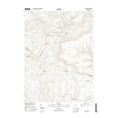
2016 Map of Sonestown
USGS Topo · Published 2016About this map
Sonestown and Muncy Valley anchor a landscape defined by the winding course of Muncy Creek and the formidable rise of North Mountain. This 2016 survey illustrates the persistent rural settlement patterns of Sullivan and Lycoming counties, where small clusters like Beech Glen and Lungerville are linked by a network of hollow roads and ridge-top lanes. The terrain is notably steep, moving from the creek bottoms up to landmarks such as Huckleberry Mtn and the appropriately named Bad Hill.
Find a feature on this map
81 named features on this map. Tap any name to fly to it.
Don’t see what you’re looking for? This feature index may not catch every label — zoom into the map to look around manually.
Map Details
Editions of this 2016 Sonestown Map
This is the sole edition of this map. No revisions or reprints were ever made.
Other maps of this area

1894 · Bloomsburg
USGS Topo · 1:62,500

1927 · Eagles Mere
USGS Topo · 1:48,000

1932 · Eagle Mere
USGS Topo · 1:62,500

1934 · Laporte
USGS Topo · 1:62,500

1935 · Hughesville
USGS Topo · 1:62,500

1947 · Benton
USGS Topo · 1:31,680
1953 · Benton
USGS Topo · 1:24,000

1953 · Hughesville
USGS Topo · 1:62,500

1953 · LaPorte
USGS Topo · 1:62,500

1953 · Eagles Mere
USGS Topo · 1:62,500
Featured Places
- Laporte Township, PA
- Biggerstown, Jordan Township
- Beaver Lake, Penn Township
- Muncy Valley, Davidson Township
- Sonestown, Davidson Township