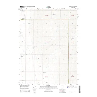
2014 Map of Sonoma Canyon
USGS Topo · Published 2014About this map
Sonoma Range peaks dominate the eastern half of this terrain, where steep drainages like Mullen Canyon and Dry Canyon descend toward the floor of Grass Valley. The landscape is defined by the high-desert transition between these massive mountain flanks and the lower valley reaches, where Sonoma Cr flows through the central canyon. The surveyor's grid overlays a rugged topography that channels water through features such as Elbow Canyon and Willow Springs Canyon. On the western edge, a nascent network of residential roads including Sabin Dr and Youngberg Rd marks the boundary of human settlement as it pushes against the mountain front. This 2014 edition captures the balance of wide-open public land and the beginning of rural development along the Humboldt and Pershing county line.
Find a feature on this map
29 named features on this map. Tap any name to fly to it.
Don’t see what you’re looking for? This feature index may not catch every label — zoom into the map to look around manually.
Map Details
Editions of this 2014 Sonoma Canyon Map
This is the sole edition of this map. No revisions or reprints were ever made.
Other maps of this area

1932 · Sonoma Range
USGS Topo · 1:250,000

1939 · Sonoma Range
USGS Topo · 1:250,000

1955 · Winnemucca
USGS Topo · 1:250,000

1958 · Winnemucca
USGS Topo · 1:250,000

1958 · Winnemucca
USGS Topo · 1:62,500

1958 · Rose Creek
USGS Topo · 1:62,500

1961 · Leach Hot Springs
USGS Topo · 1:62,500

1961 · Dun Glen
USGS Topo · 1:62,500

1962 · Winnemucca
USGS Topo · 1:250,000
1975 · Winnemucca NW
USGS Topo · 1:24,000