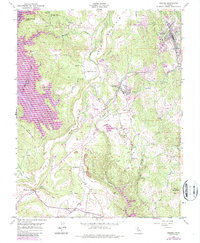
2021 Map of Sonora
USGS Topo · Published 2021About this map
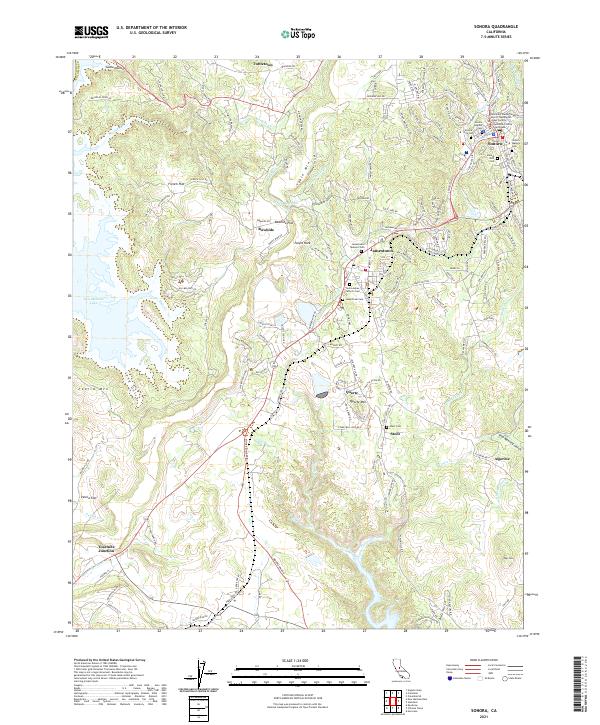
The Tuolumne County Courthouse stands as a central landmark in the city of Sonora, surrounded by a dense concentration of local history markers including the Sonora Hebrew Cem and the Sonora IOOF Cem. This Mother Lode landscape is defined by its gold-rush era heritage, where settlements like Jamestown, Quartz, and Stent follow the mineral-rich veins near Quartz Mtn. The transport and water infrastructure of the region is visible through the O'Neil Ditch and the Algerine Ditch, while modern geography is shaped by the expansion of New Melones Lake to the west. From the historic Jamestown Masonic Cem to the terrain of French Flat and Table Mtn, the map preserves the relationship between 19th-century resource extraction and 21st-century topography.
Find a feature on this map
161 named features on this map. Tap any name to fly to it.
Don’t see what you’re looking for? This feature index may not catch every label — zoom into the map to look around manually.
Map Details
Editions of this 2021 Sonora Map
This is the sole edition of this map. No revisions or reprints were ever made.
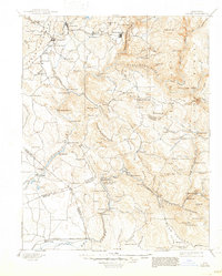
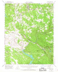
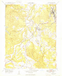
Historical Maps of Rawhide Through Time
8 maps found