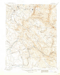
1897 Map of Sonora
USGS Topo · Published 1947About this map
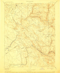
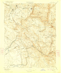
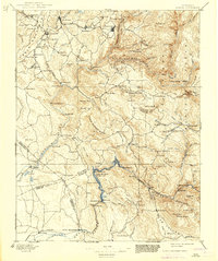
The Tuolumne River and its deep canyons dominate this landscape of the California Mother Lode, surveyed during a period of significant hydraulic and hard-rock mining expansion. Mining heritage is etched across the terrain, from the Olsen Mine near the Stanislaus County line to the Red Cloud Mine and Bandarita Mine further east. The transition from early mining to large-scale water management is evident in the presence of the La Grange Dam and Don Pedro Dam, infrastructure projects that would eventually transform the river valley.
Find a feature on this map
159 named features on this map. Tap any name to fly to it.
Don’t see what you’re looking for? This feature index may not catch every label — zoom into the map to look around manually.
Map Details
Editions of this 1897 Sonora Map
8 editions found
Other maps of this area

1889 · Jackson
USGS Topo · 1:125,000

1891 · Big Trees
USGS Topo · 1:125,000

1892 · Jackson
USGS Topo · 1:125,000

1893 · Sonora
USGS Topo · 1:125,000

1894 · Big Trees
USGS Topo · 1:125,000

1896 · Dardanelles
USGS Topo · 1:125,000

1896 · Sonora
USGS Topo · 1:125,000

1897 · Jackson
USGS Topo · 1:125,000

1897 · Sonora
USGS Topo · 1:125,000

1897 · Big Trees
USGS Topo · 1:125,000