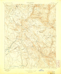
1897 Map of Sonora
USGS Topo · Published 1905About this map
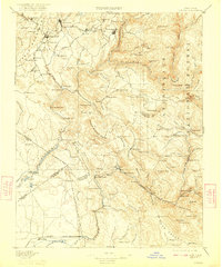
Sonora and its surrounding mining districts serve as the focal point of this late 19th-century survey, conducted during a period when the hard-rock mining industry had matured beyond the initial Gold Rush. The landscape is a complex network of ridges and river canyons, anchored by the prominent Table Mountain and the deep incisions of the Tuolumne River and North Fork Merced River. This era of development is marked by established towns like Jamestown and Chinese Camp, alongside industrial infrastructure such as Benton Mill and the Red Cloud Mine. Transportation across the steep terrain relied on critical crossings like Ward Ferry and the Split Rock Ferry, which connected isolated mountain settlements. The map also captures the transition from the high sierra foothills down to the San Joaquin Valley edge at Snelling, showing the early 20th-century footprint of both agriculture and extraction.
Find a feature on this map
136 named features on this map. Tap any name to fly to it.
Don’t see what you’re looking for? This feature index may not catch every label — zoom into the map to look around manually.
Map Details
Editions of this 1897 Sonora Map
8 editions found
Other maps of this area

1889 · Jackson
USGS Topo · 1:125,000

1891 · Big Trees
USGS Topo · 1:125,000

1892 · Jackson
USGS Topo · 1:125,000

1893 · Sonora
USGS Topo · 1:125,000

1894 · Big Trees
USGS Topo · 1:125,000

1896 · Dardanelles
USGS Topo · 1:125,000

1896 · Sonora
USGS Topo · 1:125,000

1897 · Jackson
USGS Topo · 1:125,000

1897 · Sonora
USGS Topo · 1:125,000

1897 · Big Trees
USGS Topo · 1:125,000