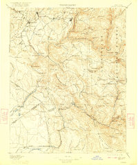
1897 Map of Sonora
USGS Topo · Published 1923About this map
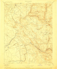
Table Mountain and the winding course of the Tuolumne River dominate this survey of California's Gold Country, capturing the region as the 19th-century mining economy transitioned. The network of the Sierra R. R. serves as a vital artery through Sonora and Jamestown, connecting these established settlements to the rugged foothills. Evidence of the area's extraction history is visible in the placement of the Red Cloud Mine, Bandarita Mine, and the Hebron Mill along the river's steep drainages.
Find a feature on this map
135 named features on this map. Tap any name to fly to it.
Don’t see what you’re looking for? This feature index may not catch every label — zoom into the map to look around manually.
Map Details
Editions of this 1897 Sonora Map
8 editions found
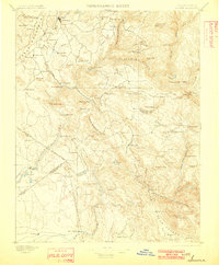
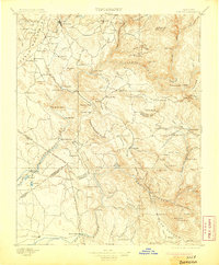
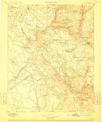
Other maps of this area

1889 · Jackson
USGS Topo · 1:125,000

1891 · Big Trees
USGS Topo · 1:125,000

1892 · Jackson
USGS Topo · 1:125,000

1893 · Sonora
USGS Topo · 1:125,000

1894 · Big Trees
USGS Topo · 1:125,000

1896 · Dardanelles
USGS Topo · 1:125,000

1896 · Sonora
USGS Topo · 1:125,000

1897 · Jackson
USGS Topo · 1:125,000

1897 · Sonora
USGS Topo · 1:125,000

1897 · Big Trees
USGS Topo · 1:125,000