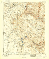
1897 Map of Sonora
USGS Topo · Published 1939About this map
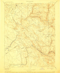
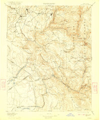
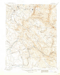
Sonora and its surrounding gold country are depicted here in the late 19th century, revealing a landscape defined by Mother Lode mining and the early infrastructure of the Sierra Ry. The map follows the rugged corridor of the Tuolumne River and the Merced River, illustrating the complex network of mining camps and river bars such as Chinese Camp, Jacksonville, and Red Mountain Bar. Settlement patterns are tightly bound to the topography, with towns clustered near productive quartz veins and river fords like Wards Ferry.
Find a feature on this map
151 named features on this map. Tap any name to fly to it.
Don’t see what you’re looking for? This feature index may not catch every label — zoom into the map to look around manually.
Map Details
Editions of this 1897 Sonora Map
8 editions found
Other maps of this area

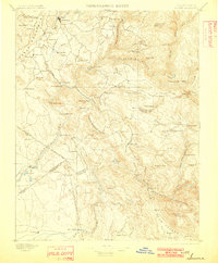
1889 · Jackson
USGS Topo · 1:125,000

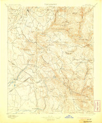
1891 · Big Trees
USGS Topo · 1:125,000

1892 · Jackson
USGS Topo · 1:125,000

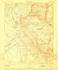
1893 · Sonora
USGS Topo · 1:125,000

1894 · Big Trees
USGS Topo · 1:125,000

1896 · Dardanelles
USGS Topo · 1:125,000

1896 · Sonora
USGS Topo · 1:125,000

1897 · Jackson
USGS Topo · 1:125,000

1897 · Sonora
USGS Topo · 1:125,000

1897 · Big Trees
USGS Topo · 1:125,000