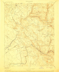
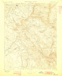
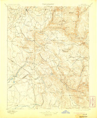
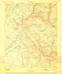
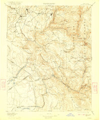
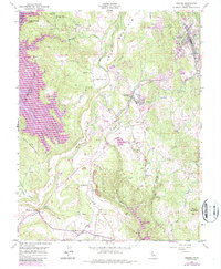
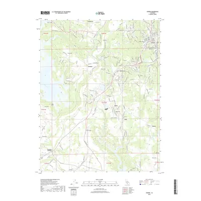
1897 Map of Sonora
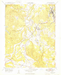
USGS Topo · Published 1912About this map
Gold-bearing hills and steep river canyons dominate this late nineteenth-century survey of the Mother Lode region. Settlements like Chinese Camp, Jamestown, and Coulterville anchor a landscape defined by hydraulic mining history and early mountain transit. The Tuolumne River carves through the center of the sheet, joined by the North Fork Tuolumne River and the Clavey River. This era shows the transition from isolated mining camps to more permanent towns, connected by vital crossings like Moffat Bridge and the Split Rock Ferry.
Find a feature on this map
138 named features on this map. Tap any name to fly to it.
Don’t see what you’re looking for? This feature index may not catch every label — zoom into the map to look around manually.
Map Details
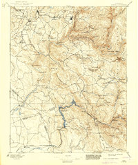
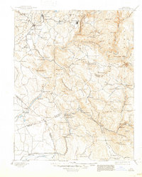
Editions of this 1897 Sonora Map
8 editions found

Historical Maps of Sonora Through Time
11 maps found

1893 Sonora
Tuolumne County, CA

1896 Sonora
Tuolumne County, CA
1897 Sonora
Tuolumne County, CA

1898 Sonora
Tuolumne County, CA
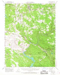
1948 Sonora
Tuolumne County, CA
1948 Sonora
Tuolumne County, CA
1949 Sonora
Tuolumne County, CA
2012 Sonora
Tuolumne County, CA
2015 Sonora
Tuolumne County, CA
2018 Sonora
Tuolumne County, CA
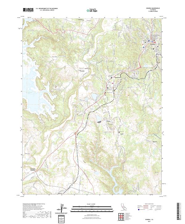
2021 Sonora
Tuolumne County, CA