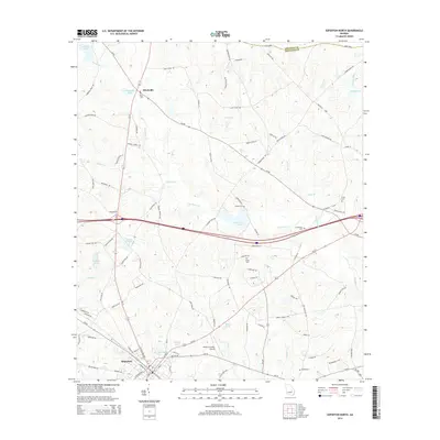
2014 Map of Soperton North
USGS Topo · Published 2014About this map
The town of Soperton anchors the southern portion of this Treutlen County landscape, where the local economy transitions from the municipal center to a network of creeks and small ponds. North of town, the small settlement of Blackville sits at the intersection of Ga-15 and Ga-86, surrounded by family landmarks and rural cemeteries that reflect the area's genealogical depth. Numerous water bodies like Red Ricks Lake, Gillis Pond, and Sand Hill Lake dot the terrain, which is drained by the winding courses of Pendleton Cr and Alligator Cr.
Find a feature on this map
104 named features on this map. Tap any name to fly to it.
Don’t see what you’re looking for? This feature index may not catch every label — zoom into the map to look around manually.
Map Details
Editions of this 2014 Soperton North Map
This is the sole edition of this map. No revisions or reprints were ever made.
Other maps of this area

1957 · Macon
USGS Topo · 1:250,000

1958 · Macon
USGS Topo · 1:250,000

1964 · Macon
USGS Topo · 1:250,000

1970 · Oak Park SW
USGS Topo · 1:24,000

1970 · Covena
USGS Topo · 1:24,000

1971 · Norristown
USGS Topo · 1:24,000

1971 · Soperton South
USGS Topo · 1:24,000

1971 · Soperton North
USGS Topo · 1:24,000

1971 · Lothair
USGS Topo · 1:24,000

1971 · Rockledge
USGS Topo · 1:24,000