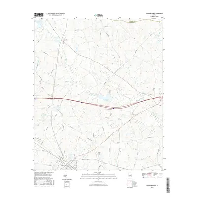
2017 Map of Soperton North
USGS Topo · Published 2017About this map
Soperton anchors the southern edge of this Georgia landscape, serving as a hub where the grid of the town meets the rural expanses of Treutlen County. The area is defined by a dense network of black-water streams and drainage basins, including Pendleton Cr, Alligator Cr, and Tiger Cr, which feed into numerous named water bodies like Sand Hill Lake and Red Ricks Lake. This topography created a pattern of scattered settlements and homesteads, evidenced by the many family-named burial sites such as Ricks Cem and Gillis Cem found across the countryside.
Find a feature on this map
94 named features on this map. Tap any name to fly to it.
Don’t see what you’re looking for? This feature index may not catch every label — zoom into the map to look around manually.
Map Details
Editions of this 2017 Soperton North Map
This is the sole edition of this map. No revisions or reprints were ever made.
Other maps of this area

1957 · Macon
USGS Topo · 1:250,000

1958 · Macon
USGS Topo · 1:250,000

1964 · Macon
USGS Topo · 1:250,000

1970 · Oak Park SW
USGS Topo · 1:24,000

1970 · Covena
USGS Topo · 1:24,000

1971 · Norristown
USGS Topo · 1:24,000

1971 · Soperton South
USGS Topo · 1:24,000

1971 · Soperton North
USGS Topo · 1:24,000

1971 · Lothair
USGS Topo · 1:24,000

1971 · Rockledge
USGS Topo · 1:24,000