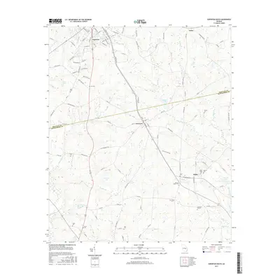
2017 Map of Soperton South
USGS Topo · Published 2017About this map
Soperton anchors the northern reaches of this landscape where the coastal plain begins its slow descent toward the Oconee River basin. The town's grid is defined by a dense network of residential streets and community landmarks, including Waller Pond and Sparks Pond just east of Mount Vernon Road. Moving south, the terrain transitions into a mosaic of agriculture and wetlands, where small rural communities like Tarrytown and Kibbee sit along the primary corridors. This area is notably dense with family and community burial grounds, such as Mount Pisgah Cem and Adams Cem, suggesting deep generational roots in the region. The drainage patterns of Tiger Creek and Cypress Creek dictate the local geography, feeding into larger bodies like Coleman Lake and Hamilton Lake, which likely served as local landmarks and points of resource for the surrounding farmsteads.
Find a feature on this map
113 named features on this map. Tap any name to fly to it.
Don’t see what you’re looking for? This feature index may not catch every label — zoom into the map to look around manually.
Map Details
Editions of this 2017 Soperton South Map
This is the sole edition of this map. No revisions or reprints were ever made.
Other maps of this area

1957 · Macon
USGS Topo · 1:250,000

1958 · Macon
USGS Topo · 1:250,000

1964 · Macon
USGS Topo · 1:250,000

1970 · Glenwood
USGS Topo · 1:24,000

1970 · Oak Park SW
USGS Topo · 1:24,000

1970 · Covena
USGS Topo · 1:24,000

1970 · Mount Vernon
USGS Topo · 1:24,000

1970 · Vidalia
USGS Topo · 1:24,000

1971 · Soperton South
USGS Topo · 1:24,000

1971 · Soperton North
USGS Topo · 1:24,000