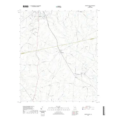
2020 Map of Soperton South
USGS Topo · Published 2020About this map
Soperton and Tarrytown anchor this detailed 2020 landscape in Treutlen and Montgomery Counties. The map reveals a mosaic of pine-heavy lowlands and small agricultural clearings, defined by a network of local roads such as Cedar Grove Rd and Tarrytown Rd. Numerous small, family-named burial grounds like Baker Cem, Love Cem, and Taylor Cem are scattered throughout the rural sections, offering significant value for genealogists tracing South Georgia ancestry.
Find a feature on this map
111 named features on this map. Tap any name to fly to it.
Don’t see what you’re looking for? This feature index may not catch every label — zoom into the map to look around manually.
Map Details
Editions of this 2020 Soperton South Map
This is the sole edition of this map. No revisions or reprints were ever made.
Other maps of this area

1957 · Macon
USGS Topo · 1:250,000

1958 · Macon
USGS Topo · 1:250,000

1964 · Macon
USGS Topo · 1:250,000

1970 · Glenwood
USGS Topo · 1:24,000

1970 · Oak Park SW
USGS Topo · 1:24,000

1970 · Covena
USGS Topo · 1:24,000

1970 · Mount Vernon
USGS Topo · 1:24,000

1970 · Vidalia
USGS Topo · 1:24,000

1971 · Soperton South
USGS Topo · 1:24,000

1971 · Soperton North
USGS Topo · 1:24,000