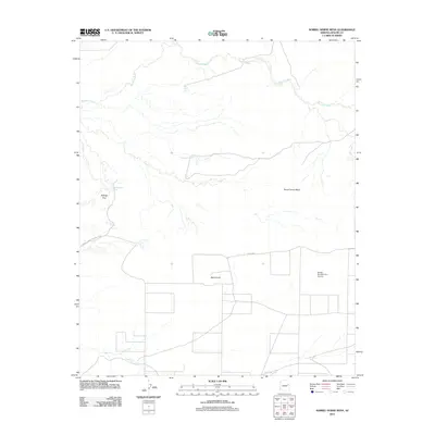
2011 Map of Sorrel Horse Mesa
USGS Topo · Published 2011About this map
Petrified Forest National Park occupies the western edge of this high-desert landscape in Apache County, where the topography is defined by the expansive Sorrel Horse Mesa and the prominent Black Knoll. The area is characterized by an extensive network of ephemeral drainage and water management, centered around the meandering Ninemile Wash and numerous livestock or utility reservoirs such as Doubtful Tank, Cedar Tank, and Waterhaul Tank. These features suggest a landscape traditionally used for ranching or resource management within a semi-arid environment.
Find a feature on this map
16 named features on this map. Tap any name to fly to it.
Don’t see what you’re looking for? This feature index may not catch every label — zoom into the map to look around manually.
Map Details
Editions of this 2011 Sorrel Horse Mesa Map
This is the sole edition of this map. No revisions or reprints were ever made.
Other maps of this area

1886 · St Johns
USGS Topo · 1:250,000

1886 · Fort Defiance
USGS Topo · 1:250,000

1892 · Fort Defiance
USGS Topo · 1:250,000

1892 · St Johns
USGS Topo · 1:250,000

1912 · Petrified Forest
USGS Topo · 1:62,500

1954 · Saint Johns
USGS Topo · 1:250,000

1954 · Gallup
USGS Topo · 1:250,000

1955 · Petrified Forest
USGS Topo · 1:62,500

1955 · Adamana 1 SW
USGS Topo · 1:24,000

1956 · Adamana 1 NW
USGS Topo · 1:24,000