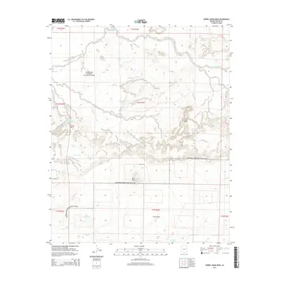
2014 Map of Sorrel Horse Mesa
USGS Topo · Published 2014About this map
Petrified Forest National Park occupies much of this high-desert landscape in Apache County, characterized by prominent plateaus and the intricate drainages of the Ninemile Wash system. The terrain is defined by substantial elevations like Sorrel Horse Mesa and Puerco Ridge, which overlook a network of seasonal water sources essential to the region's ranching and ecological history. Numerous tanks, such as Doubtful Tank and Waterhaul Tank, are distributed across the land, indicating the vital importance of water management in this arid environment.
Find a feature on this map
24 named features on this map. Tap any name to fly to it.
Don’t see what you’re looking for? This feature index may not catch every label — zoom into the map to look around manually.
Map Details
Editions of this 2014 Sorrel Horse Mesa Map
This is the sole edition of this map. No revisions or reprints were ever made.
Other maps of this area

1886 · St Johns
USGS Topo · 1:250,000

1886 · Fort Defiance
USGS Topo · 1:250,000

1892 · Fort Defiance
USGS Topo · 1:250,000

1892 · St Johns
USGS Topo · 1:250,000

1912 · Petrified Forest
USGS Topo · 1:62,500

1954 · Saint Johns
USGS Topo · 1:250,000

1954 · Gallup
USGS Topo · 1:250,000

1955 · Petrified Forest
USGS Topo · 1:62,500

1955 · Adamana 1 SW
USGS Topo · 1:24,000

1956 · Adamana 1 NW
USGS Topo · 1:24,000