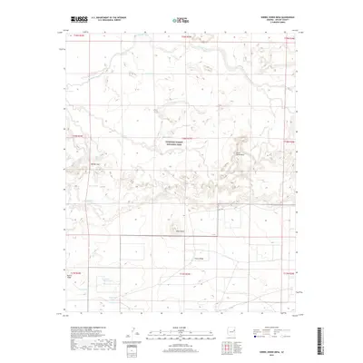
2018 Map of Sorrel Horse Mesa
USGS Topo · Published 2018About this map
Petrified Forest National Park defines the central and northern reaches of this landscape in Apache County. This high-desert terrain is characterized by a series of prominent mesas and ridges, most notably Sorrel Horse Mesa and the expansive Puerco Ridge to the south. The arid geography is managed through a network of strategically placed water features, including named catchments such as Doubtful Tank, Billings Gap Tank, and Waterhaul Tank, which reflect the region's historical reliance on seasonal water management for grazing and land use. Natural drainages like Ninemile Wash and the E Fork Dry Cr carve through the plateau, while landmarks such as Billings Gap and Black Knoll provide distinct navigational points. These features illustrate the intersection of protected federal land and the practical water infrastructure required in the Arizona wilderness.
Find a feature on this map
26 named features on this map. Tap any name to fly to it.
Don’t see what you’re looking for? This feature index may not catch every label — zoom into the map to look around manually.
Map Details
Editions of this 2018 Sorrel Horse Mesa Map
This is the sole edition of this map. No revisions or reprints were ever made.
Other maps of this area

1886 · St Johns
USGS Topo · 1:250,000

1886 · Fort Defiance
USGS Topo · 1:250,000

1892 · Fort Defiance
USGS Topo · 1:250,000

1892 · St Johns
USGS Topo · 1:250,000

1912 · Petrified Forest
USGS Topo · 1:62,500

1954 · Saint Johns
USGS Topo · 1:250,000

1954 · Gallup
USGS Topo · 1:250,000

1955 · Petrified Forest
USGS Topo · 1:62,500

1955 · Adamana 1 SW
USGS Topo · 1:24,000

1956 · Adamana 1 NW
USGS Topo · 1:24,000