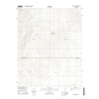
2015 Map of Sourdough Spring
USGS Topo · Published 2015About this map
Sourdough Spring sits within a high-elevation pocket of the Panamint Range, a critical water source in an otherwise arid stretch of the northern Mojave Desert. This 2015 survey captures the intersection of desert basins and steep mountain topography, centered on the boundary between Inyo and San Bernardino counties. The majority of the landscape is protected within Death Valley National Park, where the terrain drops sharply from the heights of the Panamints toward the low-lying Panamint Valley to the west and the small drainage of Long Valley in the southeast. The map's detailed contouring reveals the complex network of alluvial fans and steep canyons that define this part of the Mojave, illustrating the natural barriers that historically dictated travel and settlement in the California desert.
Find a feature on this map
11 named features on this map. Tap any name to fly to it.
Don’t see what you’re looking for? This feature index may not catch every label — zoom into the map to look around manually.
Map Details
Editions of this 2015 Sourdough Spring Map
This is the sole edition of this map. No revisions or reprints were ever made.
Other maps of this area

1915 · Searles Lake
USGS Topo · 1:250,000

1933 · Avawatz Mountains
USGS Topo · 1:250,000

1947 · Trona
USGS Topo · 1:250,000

1948 · Trona
USGS Topo · 1:250,000

1948 · Quail Mountains
USGS Topo · 1:62,500

1950 · Manly Peak
USGS Topo · 1:62,500

1950 · Wingate Wash
USGS Topo · 1:62,500

1950 · Wingate Pass
USGS Topo · 1:62,500

1951 · Wingate Pass
USGS Topo · 1:62,500

1951 · Quail Mountains
USGS Topo · 1:62,500