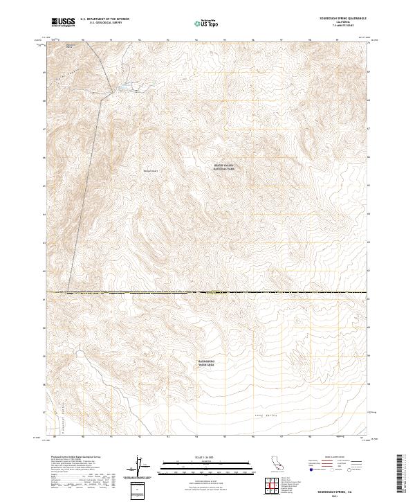
2021 Map of Sourdough Spring
USGS Topo · Published 2021About this map
Sourdough Spring sits within a landscape defined by the steep elevation changes of the Panamint Range and the high-desert corridors of Goler Canyon. This section of the Mojave Desert is notable for its proximity to the southern boundary of Death Valley National Park, where the terrain transitions toward the Panamint Valley to the west. The map records the complex topography of this region at the start of the 2020s, including the wide drainage of Long Valley and the expansive Randsburg Wash Area. Topographic detail reveals the intricate ridgelines and dry washes that characterize this arid environment, providing a technical look at the geological features and public land boundaries between Inyo and San Bernardino counties.
Find a feature on this map
11 named features on this map. Tap any name to fly to it.
Don’t see what you’re looking for? This feature index may not catch every label — zoom into the map to look around manually.
Map Details
Editions of this 2021 Sourdough Spring Map
This is the sole edition of this map. No revisions or reprints were ever made.
Other maps of this area

1915 · Searles Lake
USGS Topo · 1:250,000

1933 · Avawatz Mountains
USGS Topo · 1:250,000

1947 · Trona
USGS Topo · 1:250,000

1948 · Trona
USGS Topo · 1:250,000

1948 · Quail Mountains
USGS Topo · 1:62,500

1950 · Manly Peak
USGS Topo · 1:62,500

1950 · Wingate Wash
USGS Topo · 1:62,500

1950 · Wingate Pass
USGS Topo · 1:62,500

1951 · Wingate Pass
USGS Topo · 1:62,500

1951 · Quail Mountains
USGS Topo · 1:62,500