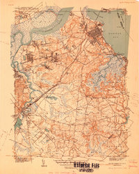
1940 Map of South Amboy
USGS Topo · Published 1940About this map
The industrialized shoreline of Raritan Bay and the winding Raritan River define this 1940 portrait of Middlesex County. Dense rail networks, including the Lehigh Valley and Pennsylvania railroads, converge at South Amboy, highlighting the region's importance as a transportation hub. Inland, the map reveals a mix of suburban growth and institutional presence, from the expansive Arsenal in the north to the early development of Cheesequake State Park. Local life is recorded through a network of neighborhood schools like Washington Sch and Wilson Sch, alongside several burial grounds such as Polish Cem and Beth Israel Cem. The landscape transitions from the salt marshes of Lawrence Harbor to the inland settlements of Sayreville and Parlin, illustrating the area's pre-war character before mid-century expansion altered much of the open space around Runyon Pond and Burnt Fly Bog.
Find a feature on this map
58 named features on this map. Tap any name to fly to it.
Don’t see what you’re looking for? This feature index may not catch every label — zoom into the map to look around manually.
Map Details
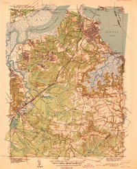
Editions of this 1940 South Amboy Map
2 editions found
Other maps of this area

1888 · Plainfield
USGS Topo · 1:62,500

1888 · New Brunswick
USGS Topo · 1:62,500

1888 · Sandy Hook
USGS Topo · 1:62,500

1893 · New Brunswick
USGS Topo · 1:62,500

1893 · Plainfield
USGS Topo · 1:62,500

1893 · Sandy Hook
USGS Topo · 1:62,500

1898 · Plainfield
USGS Topo · 1:62,500

1898 · Staten Island
USGS Topo · 1:62,500

1900 · Passaic
USGS Topo · 1:125,000

1900 · Staten Island
USGS Topo · 1:62,500