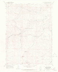
1967 Map of South Bald Mountain
USGS Topo · Published 1971About this map
The Roosevelt National Forest defines this high-elevation landscape in Larimer County, dominated by a series of prominent peaks including North Bald Mountain, Middle Bald Mountain, and South Bald Mountain. The watershed is anchored by the Cache la Poudre River and its major tributaries, such as the North Fork Cache la Poudre River and South Fork Cache la Poudre River. These waterways reveal the historical management of mountain water for downstream use, evidenced by the presence of the Mitchell Ditch and Bellaire Ditch.
Find a feature on this map
29 named features on this map. Tap any name to fly to it.
Don’t see what you’re looking for? This feature index may not catch every label — zoom into the map to look around manually.
Map Details
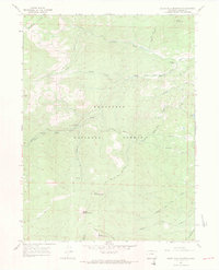
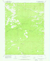
Editions of this 1967 South Bald Mountain Map
3 editions found
Other maps of this area

1916 · Home
USGS Topo · 1:125,000

1920 · Home
USGS Topo · 1:125,000

1954 · Greeley
USGS Topo · 1:250,000

1957 · Greeley
USGS Topo · 1:250,000

1958 · Greeley
USGS Topo · 1:250,000

1961 · Greeley
USGS Topo · 1:250,000

1962 · Boston Peak
USGS Topo · 1:24,000

1962 · Kinikinik
USGS Topo · 1:24,000
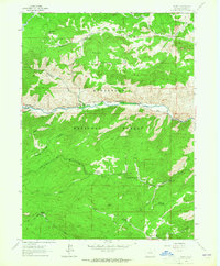
1962 · Rustic
USGS Topo · 1:24,000

1964 · Greeley
USGS Topo · 1:250,000