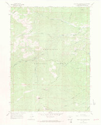
1967 Map of South Bald Mountain
USGS Topo · Published 1971About this map
North Fork Cache la Poudre River winds through the high-elevation terrain of the Roosevelt National Forest, defining a landscape where ranching and early irrigation infrastructure meet. In the late 1960s, this area of the Front Range was a working forest, with Black Mtn Ranch and Painted Post Ranch serving as focal points for local activity. The geography is dominated by a series of high peaks, including North Bald Mountain, Middle Bald Mountain, and South Bald Mountain.
Find a feature on this map
28 named features on this map. Tap any name to fly to it.
Don’t see what you’re looking for? This feature index may not catch every label — zoom into the map to look around manually.
Map Details
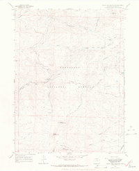
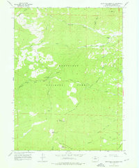
Editions of this 1967 South Bald Mountain Map
3 editions found
Other maps of this area

1916 · Home
USGS Topo · 1:125,000

1920 · Home
USGS Topo · 1:125,000

1954 · Greeley
USGS Topo · 1:250,000

1957 · Greeley
USGS Topo · 1:250,000

1958 · Greeley
USGS Topo · 1:250,000

1961 · Greeley
USGS Topo · 1:250,000

1962 · Boston Peak
USGS Topo · 1:24,000

1962 · Kinikinik
USGS Topo · 1:24,000
1962 · Rustic
USGS Topo · 1:24,000

1964 · Greeley
USGS Topo · 1:250,000