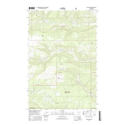
2017 Map of South Bench
USGS Topo · Published 2017About this map
The Little Snowy Mountains rise along the southern edge of this Montana landscape, where the Lewis & Clark National Forest transitions into the high plateau country of Fergus and Golden Valley counties. This environment is characterized by distinct topographic steps, most notably Middle Bench and South Bench, which overlook a network of seasonal drainages. Local family and cemetery history is anchored by Pine Grove Cem, located near the foothills.
Find a feature on this map
35 named features on this map. Tap any name to fly to it.
Don’t see what you’re looking for? This feature index may not catch every label — zoom into the map to look around manually.
Map Details
Editions of this 2017 South Bench Map
This is the sole edition of this map. No revisions or reprints were ever made.
Other maps of this area

1889 · Big Snowy Mountain
USGS Topo · 1:250,000

1893 · Big Snowy Mountain
USGS Topo · 1:250,000

1954 · Roundup
USGS Topo · 1:250,000

1958 · Roundup
USGS Topo · 1:250,000

1970 · Forestgrove
USGS Topo · 1:24,000

1970 · South Bench
USGS Topo · 1:24,000
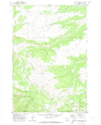
1970 · Alaska Bench
USGS Topo · 1:24,000
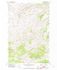
1970 · Loco Ridge
USGS Topo · 1:24,000

1986 · Devils Hole Lake
USGS Topo · 1:24,000

1986 · Patterson Canyon
USGS Topo · 1:24,000