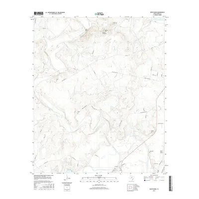
2016 Map of South Bend
USGS Topo · Published 2016About this map
The Brazos River meanders through the heart of this landscape, meeting its tributary, the Clear Fork, just south of the settlement at South Bend. The terrain is defined by prominent elevations including Beehive Mtn and Wolf Mtn within the Belknap Mountains to the north, and Sidney Mtn to the east. The map records several small family and community burial grounds, such as Brooks Cem and Medlan Cem, which provide valuable location data for genealogists studying Young County families.
Find a feature on this map
59 named features on this map. Tap any name to fly to it.
Don’t see what you’re looking for? This feature index may not catch every label — zoom into the map to look around manually.
Map Details
Editions of this 2016 South Bend Map
This is the sole edition of this map. No revisions or reprints were ever made.
Other maps of this area

1890 · Breckenridge
USGS Topo · 1:125,000

1924 · Breckenridge 1-a
USGS Topo · 1:48,000

1924 · Graham 4-d
USGS Topo · 1:48,000

1925 · Graham 4-c
USGS Topo · 1:48,000

1925 · Breckenridge 1-b
USGS Topo · 1:48,000

1927 · Graham
USGS Topo · 1:62,500

1931 · Ivan
USGS Topo · 1:62,500

1954 · Abilene
USGS Topo · 1:250,000

1954 · Wichita Falls
USGS Topo · 1:250,000

1958 · Wichita Falls
USGS Topo · 1:250,000