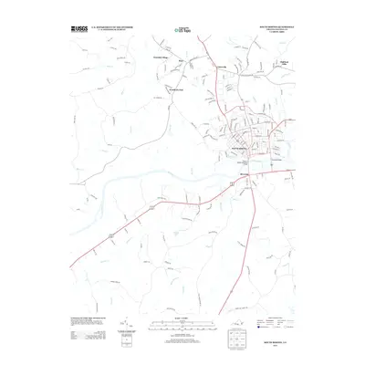
2013 Map of South Boston
USGS Topo · Published 2013About this map
South Boston serves as the focal point of this Halifax County survey, where the Dan River defines the town's southern boundary and geographic character. The map illustrates a developed corridor stretching from the historic town center across the Tucker C Watkins Memorial Bridge into Riverdale. Surrounding the urban core, residential developments and communities such as Highland Hills, Centerville, and Woodlawn Park are clearly delineated, showing the modern footprint of the area.
Find a feature on this map
166 named features on this map. Tap any name to fly to it.
Don’t see what you’re looking for? This feature index may not catch every label — zoom into the map to look around manually.
Map Details
Editions of this 2013 South Boston Map
This is the sole edition of this map. No revisions or reprints were ever made.
Other maps of this area

1952 · Milton
USGS Topo · 1:62,500

1953 · South Boston
USGS Topo · 1:62,500

1953 · Greensboro
USGS Topo · 1:250,000

1954 · Greensboro
USGS Topo · 1:250,000

1954 · Halifax
USGS Topo · 1:62,500

1954 · Riceville
USGS Topo · 1:62,500

1956 · Milton
USGS Topo · 1:62,500

1957 · South Boston
USGS Topo · 1:62,500

1962 · Greensboro
USGS Topo · 1:250,000

1966 · Greensboro
USGS Topo · 1:250,000