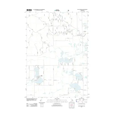
2012 Map of South Branch
USGS Topo · Published 2012About this map
Glacial lakes and meandering river systems dominate the landscape of Ogemaw County in this 2012 survey. The settlement of South Branch serves as a central hub, while Shady Shores sits along the southern waters of Rifle Lake. The terrain is defined by its complex hydrography, featuring names such as Beanshuttle Lakes, Little Au Sable Lake, and the expansive Au Sable Cr. These water bodies are connected by a network of local trails and roads like Alcan Hwy and Maltby Hills Rd.
Find a feature on this map
94 named features on this map. Tap any name to fly to it.
Don’t see what you’re looking for? This feature index may not catch every label — zoom into the map to look around manually.
Map Details
Editions of this 2012 South Branch Map
This is the sole edition of this map. No revisions or reprints were ever made.
Other maps of this area

1954 · Traverse City
USGS Topo · 1:250,000

1954 · Tawas City
USGS Topo · 1:250,000

1958 · Traverse City
USGS Topo · 1:250,000

1958 · Tawas City
USGS Topo · 1:250,000
1965 · Selkirk
USGS Topo · 1:24,000
1965 · Rose City
USGS Topo · 1:24,000
1968 · Hale
USGS Topo · 1:24,000
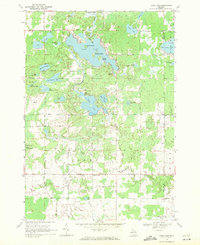
1968 · Sage Lake
USGS Topo · 1:24,000
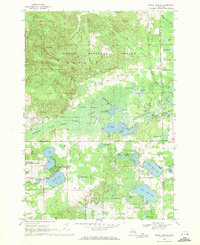
1968 · South Branch
USGS Topo · 1:24,000
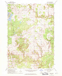
1968 · Hale SE
USGS Topo · 1:24,000