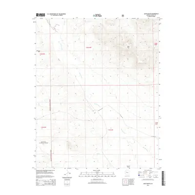
2014 Map of South Butte
USGS Topo · Published 2014About this map
South Butte rises as a prominent landmark in this high-desert landscape of central Arizona, overlooking the drainage systems of the Big Chino Valley. The terrain is defined by the seasonal flow of the Big Chino Wash, which is fed by tributaries including Partridge Cr and Pine Cr. These watercourses dictate the historical movement through the valley, often followed by rural routes like Big Chino Rd and N Rock House Rd.
Find a feature on this map
14 named features on this map. Tap any name to fly to it.
Don’t see what you’re looking for? This feature index may not catch every label — zoom into the map to look around manually.
Map Details
Editions of this 2014 South Butte Map
This is the sole edition of this map. No revisions or reprints were ever made.
Other maps of this area

1886 · Chino
USGS Topo · 1:250,000

1887 · Prescott
USGS Topo · 1:250,000

1891 · Chino
USGS Topo · 1:250,000

1892 · Prescott
USGS Topo · 1:250,000

1947 · Simmons
USGS Topo · 1:62,500

1947 · Picacho Butte
USGS Topo · 1:62,500

1947 · Turkey Canyon
USGS Topo · 1:62,500

1947 · Camp Wood
USGS Topo · 1:62,500

1948 · Williams
USGS Topo · 1:250,000

1948 · Picacho Butte
USGS Topo · 1:63,360