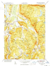
1950 Map of South Canaan
USGS Topo · Published 1950About this map
Canaan Mountain and the expansive Housatonic State Forest dominate this Litchfield County landscape, where the Housatonic River carves a deep valley along the western edge. This postwar survey documents the industrial and educational intersections of the region, notably featuring the Yale University Forestry School near Meekertown and the river-side activity at Falls Village. Settlement patterns follow the valley floors and lower slopes, with clusters at South Canaan and Cornwall Hollow connected by the New York New Haven and Hartford railroad line.
Find a feature on this map
74 named features on this map. Tap any name to fly to it.
Don’t see what you’re looking for? This feature index may not catch every label — zoom into the map to look around manually.
Map Details
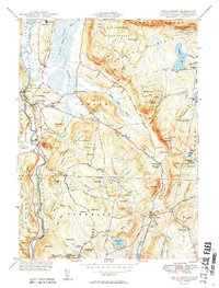
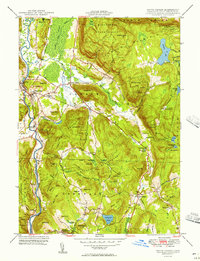
Editions of this 1950 South Canaan Map
3 editions found
Other maps of this area

1885 · Sheffield
USGS Topo · 1:62,500

1888 · Sheffield
USGS Topo · 1:62,500

1888 · Sandisfield
USGS Topo · 1:62,500

1891 · Sheffield
USGS Topo · 1:62,500

1892 · Winsted
USGS Topo · 1:62,500

1892 · Cornwall
USGS Topo · 1:62,500

1893 · Sheffield
USGS Topo · 1:62,500

1893 · Cornwall
USGS Topo · 1:62,500

1893 · Sandisfield
USGS Topo · 1:62,500

1897 · Sandisfield
USGS Topo · 1:62,500