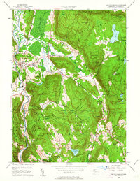
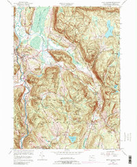
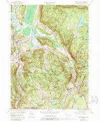
1956 Map of South Canaan
USGS Topo · Published 1963About this map
The Housatonic River carves a path through the northwestern corner of this Connecticut landscape, marking the transition between the townships of Canaan and Salisbury. In the mid-1950s, the area remained deeply defined by its natural resources and academic institutional presence, notably the Yale University Forestry School and the extensive acreage of the Housatonic State Forest. Small settlements like Falls Village and South Canaan are connected by a network of rural roads that skirt prominent terrain features such as Barrack Mountain and Music Mtn.
Find a feature on this map
60 named features on this map. Tap any name to fly to it.
Don’t see what you’re looking for? This feature index may not catch every label — zoom into the map to look around manually.
Map Details
Editions of this 1956 South Canaan Map
6 editions found
Other maps of this area

1885 · Sheffield
USGS Topo · 1:62,500

1888 · Sheffield
USGS Topo · 1:62,500

1888 · Sandisfield
USGS Topo · 1:62,500

1891 · Sheffield
USGS Topo · 1:62,500

1892 · Winsted
USGS Topo · 1:62,500

1892 · Cornwall
USGS Topo · 1:62,500

1893 · Sheffield
USGS Topo · 1:62,500

1893 · Cornwall
USGS Topo · 1:62,500

1893 · Sandisfield
USGS Topo · 1:62,500

1897 · Sandisfield
USGS Topo · 1:62,500