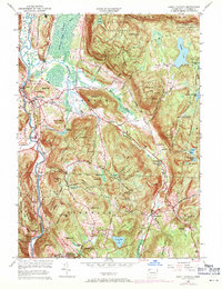
1956 Map of South Canaan
USGS Topo · Published 1971About this map
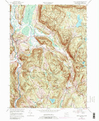
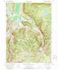
Canaan Mountain and the deep woods of the Housatonic State Forest dominate this Litchfield County landscape, where the Housatonic River carves a path through the valley. The river’s course is marked by the industrial and social hubs of Falls Village and Amesville, supported by the Penn Central railroad line. To the south, the village of Cornwall Hollow and the Cornwall Consolidated School serve the rural farming communities of Cornwall.
Find a feature on this map
64 named features on this map. Tap any name to fly to it.
Don’t see what you’re looking for? This feature index may not catch every label — zoom into the map to look around manually.
Map Details
Editions of this 1956 South Canaan Map
6 editions found
Other maps of this area

1885 · Sheffield
USGS Topo · 1:62,500

1888 · Sheffield
USGS Topo · 1:62,500

1888 · Sandisfield
USGS Topo · 1:62,500

1891 · Sheffield
USGS Topo · 1:62,500

1892 · Winsted
USGS Topo · 1:62,500

1892 · Cornwall
USGS Topo · 1:62,500

1893 · Sheffield
USGS Topo · 1:62,500

1893 · Cornwall
USGS Topo · 1:62,500

1893 · Sandisfield
USGS Topo · 1:62,500

1897 · Sandisfield
USGS Topo · 1:62,500