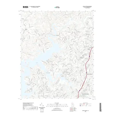
2020 Map of South Canton
USGS Topo · Published 2020About this map
Allatoona Lake dominates the central geography of this Cherokee County survey, where the Etowah River and Little River converge in a complex system of wooded peninsulas and suburban developments. The map illustrates the contemporary landscape of the northern Georgia Piedmont, showing the expanding footprint of Canton and Woodstock alongside established rural communities like Sutallee and Lebanon.
Find a feature on this map
244 named features on this map. Tap any name to fly to it.
Don’t see what you’re looking for? This feature index may not catch every label — zoom into the map to look around manually.
Map Details
Editions of this 2020 South Canton Map
This is the sole edition of this map. No revisions or reprints were ever made.
Other maps of this area

1890 · Suwanee
USGS Topo · 1:125,000

1890 · Cartersville
USGS Topo · 1:125,000

1891 · Cartersville
USGS Topo · 1:125,000

1894 · Suwanee
USGS Topo · 1:125,000

1896 · Cartersville
USGS Topo · 1:125,000
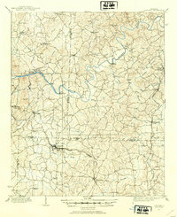
1907 · Acworth
USGS Topo · 1:62,500
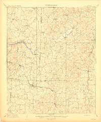
1909 · Acworth
USGS Topo · 1:62,500
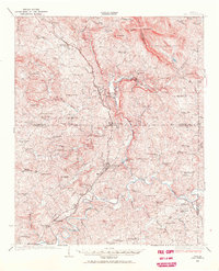
1926 · Tate
USGS Topo · 1:62,500
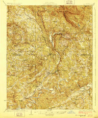
1928 · Tate
USGS Topo · 1:62,500
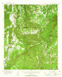
1947 · Waleska
USGS Topo · 1:62,500