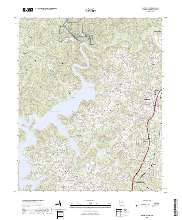
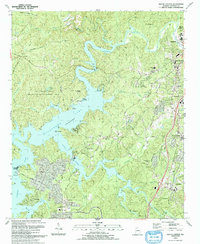
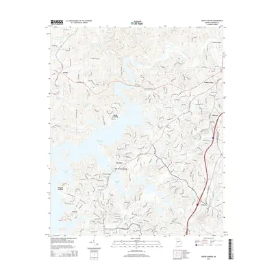
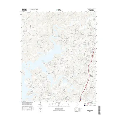
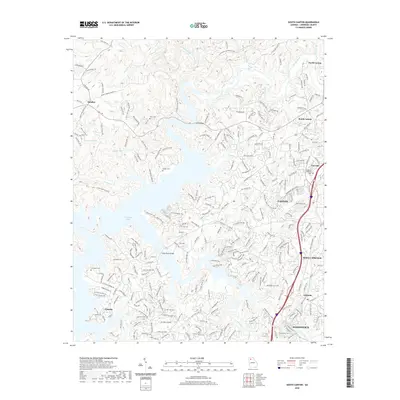
2024 Map of South Canton
USGS Topo · Published 2024About this map
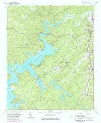
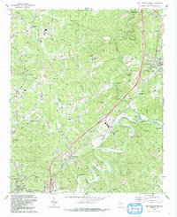
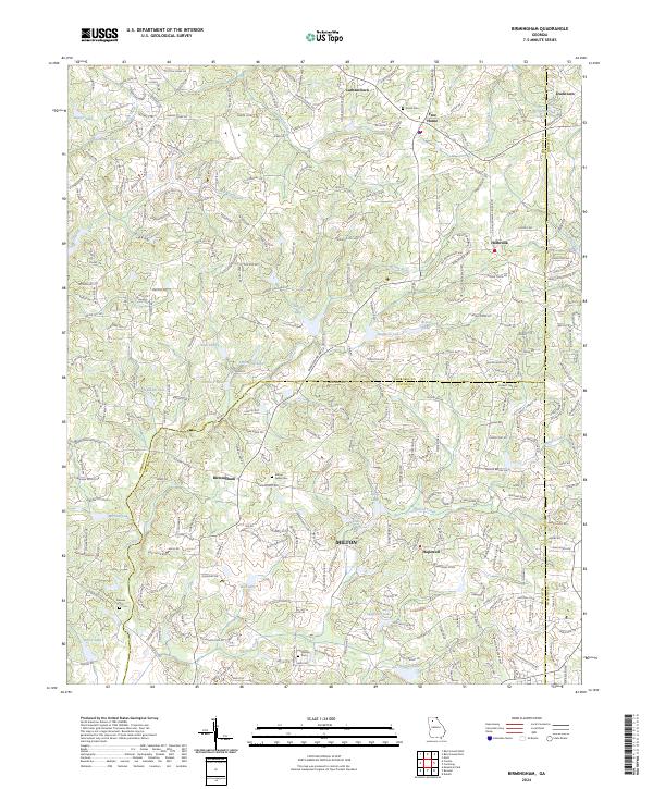
Allatoona Lake and the Etowah River dominate this modern topography of Cherokee County, where the rising waters of the mid-20th century transformed the landscape into a complex network of coves and ridges. The map highlights significant local landmarks such as the expansive Georgia National Cemetery and smaller historical burial grounds including Hightower Church Cem and Brooks Cem. The transition from rural crossroad settlements like Sutallee to the more densely developed areas of Canton, Holly Springs, and Woodstock is clearly visible, reflecting decades of growth along the Interstate 575 corridor.
Find a feature on this map
246 named features on this map. Tap any name to fly to it.
Don’t see what you’re looking for? This feature index may not catch every label — zoom into the map to look around manually.
Map Details
Editions of this 2024 South Canton Map
This is the sole edition of this map. No revisions or reprints were ever made.
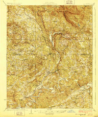
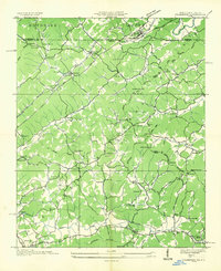
Historical Maps of Woodstock Through Time
35 maps found
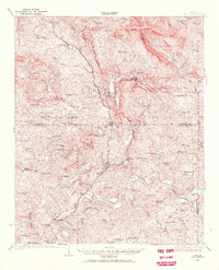
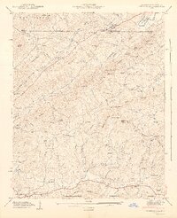
1926 Tate
Cherokee County, GA
1928 Tate
Cherokee County, GA
1935 Culberson
Cherokee County, GA
1941 Culberson
Cherokee County, GA
1942 Culberson
Cherokee County, GA
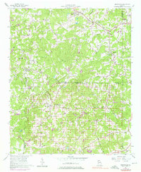
1956 Birmingham
Cherokee County, GA
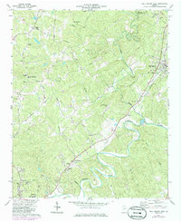
1961 South Canton
Cherokee County, GA
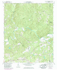
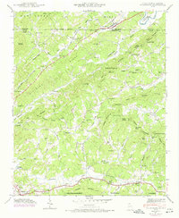
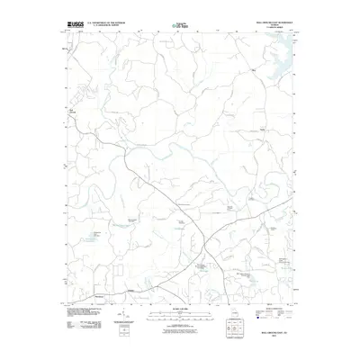
1973 Ball Ground East
Cherokee County, GA
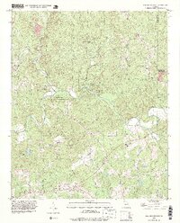
1973 Ball Ground West
Cherokee County, GA
1992 Ball Ground West
Cherokee County, GA
1993 Ball Ground East
Cherokee County, GA
1993 South Canton
Cherokee County, GA
1997 Ball Ground West
Cherokee County, GA
1997 South Canton
Cherokee County, GA
1999 Ball Ground East
Cherokee County, GA
2011 Ball Ground East
Cherokee County, GA

2011 Ball Ground West
Cherokee County, GA
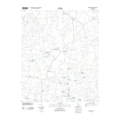
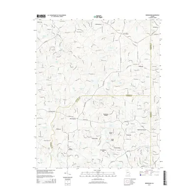
2011 Birmingham
Cherokee County, GA

2011 South Canton
Cherokee County, GA
2014 Ball Ground East
Cherokee County, GA
2014 Ball Ground West
Cherokee County, GA
2014 Birmingham
Cherokee County, GA
2014 South Canton
Cherokee County, GA
2017 Ball Ground East
Cherokee County, GA
2017 Ball Ground West
Cherokee County, GA
2017 Birmingham
Cherokee County, GA
2017 South Canton
Cherokee County, GA
2020 Ball Ground East
Cherokee County, GA
2020 Ball Ground West
Cherokee County, GA
2020 Birmingham
Cherokee County, GA
2020 South Canton
Cherokee County, GA
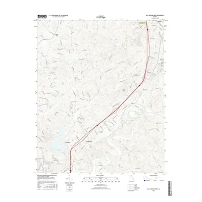
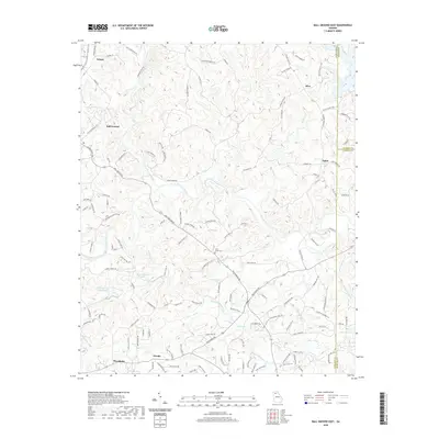
2024 Ball Ground East
Cherokee County, GA
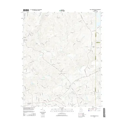
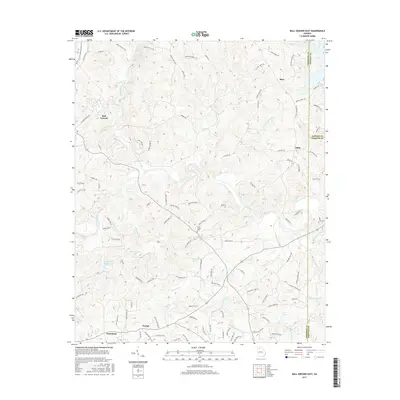
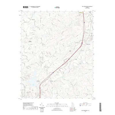
2024 Ball Ground West
Cherokee County, GA
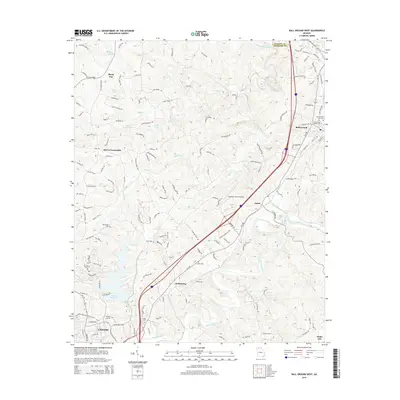
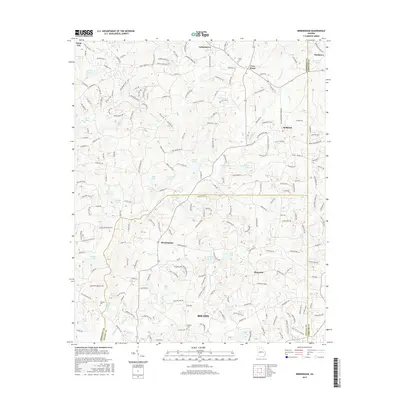
2024 Birmingham
Cherokee County, GA
2024 South Canton
Cherokee County, GA