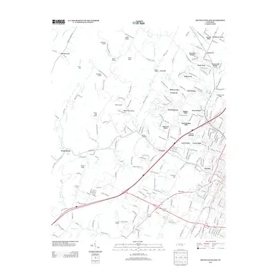
2013 Map of South Cleveland
USGS Topo · Published 2013About this map
The suburban expansion and complex geography south of Cleveland are meticulously documented in this 2013 survey. Residential developments like Villa Heights, Mountainbrook, and Hills and Dales define the modern residential landscape, yet the map retains significant evidence of the region’s older agricultural and natural features. Water sources are particularly prominent, including Varnell Springs, Hall Spring, and the Blythewood Stock Farms.
Find a feature on this map
67 named features on this map. Tap any name to fly to it.
Don’t see what you’re looking for? This feature index may not catch every label — zoom into the map to look around manually.
Map Details
Editions of this 2013 South Cleveland Map
This is the sole edition of this map. No revisions or reprints were ever made.
Other maps of this area

1886 · Cleveland
USGS Topo · 1:125,000

1888 · Chattanooga
USGS Topo · 1:125,000

1892 · Cleveland
USGS Topo · 1:125,000

1893 · Chattanooga
USGS Topo · 1:125,000

1895 · Cleveland
USGS Topo · 1:125,000

1901 · Cleveland
USGS Topo · 1:125,000

1935 · East Cleveland
USGS Topo · 1:24,000

1935 · Mc Donald
USGS Topo · 1:24,000

1935 · Felker
USGS Topo · 1:24,000

1935 · Snow Hill
USGS Topo · 1:24,000