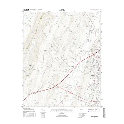
2016 Map of South Cleveland
USGS Topo · Published 2016About this map
Cleveland and its suburban expansion dominate the eastern landscape of this survey, where residential development meets the steep relief of the White Oak Mountain range to the west. The city's edge is defined by the Cleveland State Community College campus and the historic grounds of Fort Hill Cem. To the west, the terrain transitions into a series of parallel ridges and hollows, including Stillhouse Hollow and Blackburn Hollow, which have historically constrained east-west travel. This geography is punctuated by gaps and springs like Lewis Gap and Baugh Spring, which served as vital points for early settlement. The presence of numerous family burial grounds, such as Seaborn Cem and Goodner Cem, reflects a deeply rooted rural heritage that persists even as the city of South Cleveland grows south along the corridor of Candies Creek.
Find a feature on this map
222 named features on this map. Tap any name to fly to it.
Don’t see what you’re looking for? This feature index may not catch every label — zoom into the map to look around manually.
Map Details
Editions of this 2016 South Cleveland Map
This is the sole edition of this map. No revisions or reprints were ever made.
Other maps of this area

1886 · Cleveland
USGS Topo · 1:125,000

1888 · Chattanooga
USGS Topo · 1:125,000

1892 · Cleveland
USGS Topo · 1:125,000

1893 · Chattanooga
USGS Topo · 1:125,000

1895 · Cleveland
USGS Topo · 1:125,000

1901 · Cleveland
USGS Topo · 1:125,000

1935 · East Cleveland
USGS Topo · 1:24,000

1935 · Mc Donald
USGS Topo · 1:24,000

1935 · Felker
USGS Topo · 1:24,000

1935 · Snow Hill
USGS Topo · 1:24,000