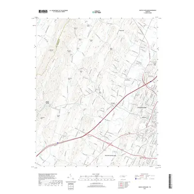
2019 Map of South Cleveland
USGS Topo · Published 2019About this map
White Oak Mountain forms a prominent western boundary for this area of Bradley County, where the terrain transitions into the developed outskirts of Cleveland. The landscape is a mix of dense residential growth in neighborhoods like Annadale and South Cleveland, and the rural ridges and hollows to the west. Significant local heritage is preserved in numerous burial grounds, ranging from the large Fort Hill Cem near the city center to smaller family sites like Seaborn Cem and Baugh Spring Cem.
Find a feature on this map
227 named features on this map. Tap any name to fly to it.
Don’t see what you’re looking for? This feature index may not catch every label — zoom into the map to look around manually.
Map Details
Editions of this 2019 South Cleveland Map
This is the sole edition of this map. No revisions or reprints were ever made.
Other maps of this area

1886 · Cleveland
USGS Topo · 1:125,000

1888 · Chattanooga
USGS Topo · 1:125,000

1892 · Cleveland
USGS Topo · 1:125,000

1893 · Chattanooga
USGS Topo · 1:125,000

1895 · Cleveland
USGS Topo · 1:125,000

1901 · Cleveland
USGS Topo · 1:125,000

1935 · East Cleveland
USGS Topo · 1:24,000

1935 · Mc Donald
USGS Topo · 1:24,000

1935 · Felker
USGS Topo · 1:24,000

1935 · Snow Hill
USGS Topo · 1:24,000