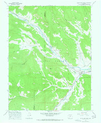
1967 Map of South Fork West
USGS Topo · Published 1968About this map
The Denver and Rio Grande Western railroad corridor follows the winding path of the Rio Grande through this high-altitude landscape during the late 1960s. The settlement of South Fork serves as a central hub where the South Fork Rio Grande joins the main river, a confluence marked by the presence of the Highline Ditch and localized ranching operations like Riverside Ranch and Elk Ranch.
Find a feature on this map
41 named features on this map. Tap any name to fly to it.
Don’t see what you’re looking for? This feature index may not catch every label — zoom into the map to look around manually.
Map Details
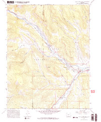
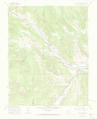
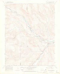
Editions of this 1967 South Fork West Map
4 editions found
Other maps of this area

1914 · Creede
USGS Topo · 1:125,000

1916 · Creede
USGS Topo · 1:125,000

1945 · Durango
USGS Topo · 1:250,000

1953 · Durango
USGS Topo · 1:250,000

1954 · Durango
USGS Topo · 1:250,000

1957 · Spar City
USGS Topo · 1:62,500

1959 · Creede
USGS Topo · 1:62,500

1961 · Durango
USGS Topo · 1:250,000

1963 · Durango
USGS Topo · 1:250,000

1966 · Durango
USGS Topo · 1:250,000