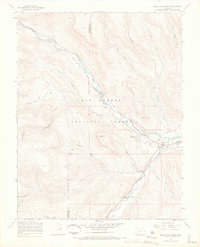
1967 Map of South Fork West
USGS Topo · Published 1969About this map
The Rio Grande and the South Fork Rio Grande converge in this high-altitude landscape of southern Colorado, where the Denver and Rio Grande Western railroad tracks parallel the river's path. This late-1960s survey documents a region defined by recreational and agricultural outpostings within the Rio Grande National Forest, including Masonic Park and Riverside Ranch. Small clusters of development at South Fork and Baxterville anchor the local geography, while the upland terrain is marked by numerous Pack Trails, stock driveways, and specialized infrastructure like the Alder Guard Station. The presence of Sentinel Peak and the deep incisions of Haney Canyon and Poison Gulch illustrate the complex drainage patterns feeding into the valley floor before the arrival of extensive modern highway expansion.
Find a feature on this map
37 named features on this map. Tap any name to fly to it.
Don’t see what you’re looking for? This feature index may not catch every label — zoom into the map to look around manually.
Map Details
Editions of this 1967 South Fork West Map
4 editions found
Other maps of this area

1914 · Creede
USGS Topo · 1:125,000

1916 · Creede
USGS Topo · 1:125,000

1945 · Durango
USGS Topo · 1:250,000

1953 · Durango
USGS Topo · 1:250,000

1954 · Durango
USGS Topo · 1:250,000

1957 · Spar City
USGS Topo · 1:62,500

1959 · Creede
USGS Topo · 1:62,500

1961 · Durango
USGS Topo · 1:250,000

1963 · Durango
USGS Topo · 1:250,000

1966 · Durango
USGS Topo · 1:250,000