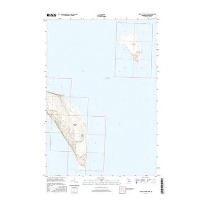
2017 Map of South Fox Island
USGS Topo · Published 2017About this map
South Fox Island and North Fox Island rise from the waters of Lake Michigan in this 2017 survey of the remote archipelago. The terrain is marked by a network of topographic contours that reveal the dramatic elevation changes and coastal bluffs of these isolated landmasses. On the larger southern island, the South Fox Island Airport serves as a critical point of access, reflecting the logistical challenges of island life in Leelanau Township. The map uses the Public Land Survey System to divide the land, shown by the grid lines of t34n r13w and t35n r13w, which help organize the sparsely developed landscape. This record captures the islands in their modern state, highlighting the balance between the natural coastal environment and the minimal human infrastructure established in this corner of the Great Lakes.
Find a feature on this map
27 named features on this map. Tap any name to fly to it.
Don’t see what you’re looking for? This feature index may not catch every label — zoom into the map to look around manually.
Map Details
Editions of this 2017 South Fox Island Map
This is the sole edition of this map. No revisions or reprints were ever made.
Other maps of this area

1955 · Gull Island
USGS Topo · 1:62,500

1955 · Cheboygan
USGS Topo · 1:250,000

1956 · South Fox Island
USGS Topo · 1:62,500

1956 · Beaver Island
USGS Topo · 1:62,500

1958 · Cheboygan
USGS Topo · 1:250,000

1984 · Beaver Island
USGS Topo · 1:100,000

1984 · Charlevoix
USGS Topo · 1:100,000
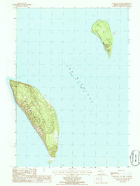
1986 · South Fox Island
USGS Topo · 1:24,000
2011 · Beaver Island South OE W
USGS Topo · 1:24,000
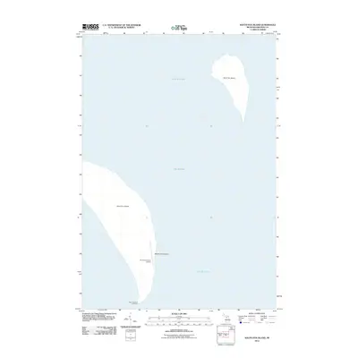
2012 · South Fox Island
USGS Topo · 1:24,000