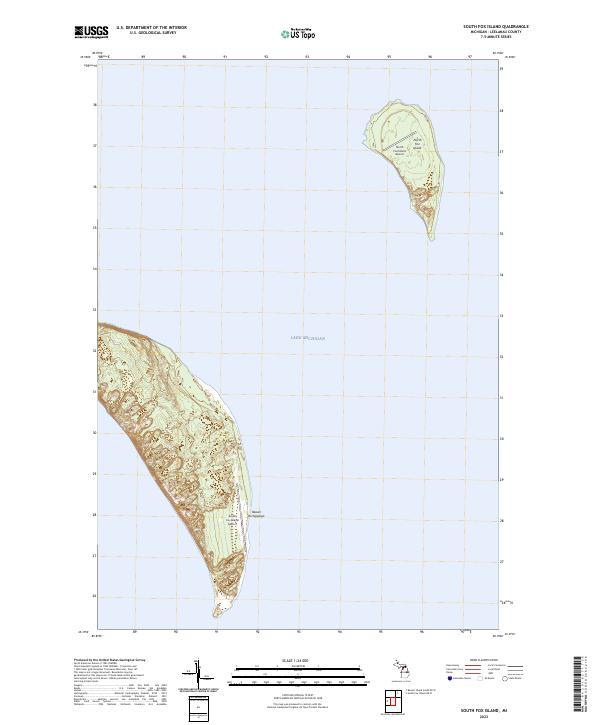
2023 Map of South Fox Island
USGS Topo · Published 2023About this map
The Beaver Archipelago rises from the depths of Lake Michigan in this 2023 survey of South Fox Island. This isolated environment is defined by its two primary landmasses, which are characterized by significant topographic relief and limited infrastructure. The presence of both the South Fox Island Airport and the North Fox Island Airport suggests the critical role of light aviation in connecting these remote islands to the mainland of Leelanau County. While much of the terrain remains undeveloped, the Public Land Survey System grids t35n r13w and t34n r13w provide a structural framework for understanding land divisions on North Fox Island and its southern neighbor. The map details the intricate shoreline and interior contours that have shaped the human and natural history of this Lake Michigan chain.
Find a feature on this map
7 named features on this map. Tap any name to fly to it.
Don’t see what you’re looking for? This feature index may not catch every label — zoom into the map to look around manually.
Map Details
Editions of this 2023 South Fox Island Map
This is the sole edition of this map. No revisions or reprints were ever made.
Other maps of this area

1955 · Gull Island
USGS Topo · 1:62,500

1955 · Cheboygan
USGS Topo · 1:250,000

1956 · South Fox Island
USGS Topo · 1:62,500

1956 · Beaver Island
USGS Topo · 1:62,500

1958 · Cheboygan
USGS Topo · 1:250,000

1984 · Beaver Island
USGS Topo · 1:100,000

1984 · Charlevoix
USGS Topo · 1:100,000
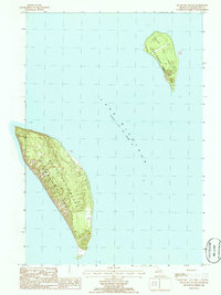
1986 · South Fox Island
USGS Topo · 1:24,000
2011 · Beaver Island South OE W
USGS Topo · 1:24,000
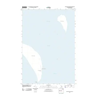
2012 · South Fox Island
USGS Topo · 1:24,000