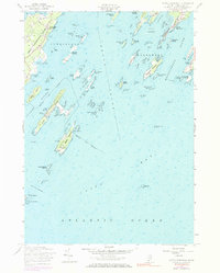
1956 Map of South Harpswell
USGS Topo · Published 1984About this map
Harpswell Neck extends into the island-studded waters of Casco Bay on this mid-century survey, anchoring a maritime landscape defined by deep sounds and sheltered coves. The fishing and coastal heritage of the era is evident in the layout of South Harpswell and the clustered settlements along Bailey Island, where Mackerel Cove provides a natural harbor. Beyond the main landmasses, the map details a complex archipelago including Haskell Island, Eagle Island, and Jewell Island, the latter of which features an Observation Tower and Observation Towers overlooking the open Atlantic Ocean.
Find a feature on this map
86 named features on this map. Tap any name to fly to it.
Don’t see what you’re looking for? This feature index may not catch every label — zoom into the map to look around manually.
Map Details
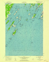
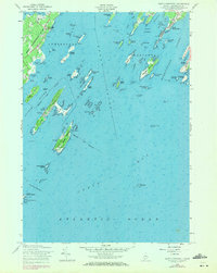
Editions of this 1956 South Harpswell Map
3 editions found
Other maps of this area

1892 · Freeport
USGS Topo · 1:62,500

1893 · Small Point
USGS Topo · 1:62,500

1893 · Casco Bay
USGS Topo · 1:62,500

1894 · Bath
USGS Topo · 1:62,500

1914 · Casco Bay
USGS Topo · 1:48,000

1916 · Casco Bay
USGS Topo · 1:62,500

1916 · Portland And Vicinity
USGS Topo · 1:62,500

1918 · Portland And Vicinity
USGS Topo · 1:62,500

1919 · Small Point
USGS Topo · 1:62,500

1920 · Bath
USGS Topo · 1:62,500