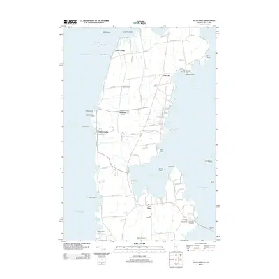
2012 Map of South Hero
USGS Topo · Published 2012About this map
South Hero Island is defined by its relationship with Lake Champlain, with its western shoreline shaped by numerous inlets such as Wilcox Bay and Rockwell Bay. This survey captures the layout of the island’s primary settlements, including Grand Isle, Pearl, and South Hero, connected by a network of local roads that lead to critical transit points like the Grand Isle Ferry and the Sand Bar Bridge.
Find a feature on this map
118 named features on this map. Tap any name to fly to it.
Don’t see what you’re looking for? This feature index may not catch every label — zoom into the map to look around manually.
Map Details
Editions of this 2012 South Hero Map
This is the sole edition of this map. No revisions or reprints were ever made.
Other maps of this area

1894 · Plattsburg
USGS Topo · 1:62,500

1895 · Rouse Point
USGS Topo · 1:62,500

1906 · Plattsburg
USGS Topo · 1:62,500

1907 · Rouse Point
USGS Topo · 1:62,500

1913 · Milton
USGS Topo · 1:48,000

1914 · St. Albans
USGS Topo · 1:48,000

1915 · Milton
USGS Topo · 1:62,500

1916 · St. Albans
USGS Topo · 1:62,500

1939 · Rouses Point
USGS Topo · 1:62,500

1939 · Plattsburg
USGS Topo · 1:62,500