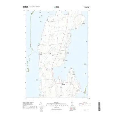
2018 Map of South Hero
USGS Topo · Published 2018About this map
South Hero Island is defined by its irregular coastline and complex archipelago within Lake Champlain, where the Vermont-New York state line cuts through the western waters. This modern survey illustrates the agrarian and residential character of the islands, centered around the settlements of South Hero and Grand Isle. The landscape is dotted with small family-named landmarks and historical sites, including the Quaker and Macomber Cem and Hoag Cem, which speak to the area's early settlement patterns.
Find a feature on this map
100 named features on this map. Tap any name to fly to it.
Don’t see what you’re looking for? This feature index may not catch every label — zoom into the map to look around manually.
Map Details
Editions of this 2018 South Hero Map
This is the sole edition of this map. No revisions or reprints were ever made.
Other maps of this area

1894 · Plattsburg
USGS Topo · 1:62,500

1895 · Rouse Point
USGS Topo · 1:62,500

1906 · Plattsburg
USGS Topo · 1:62,500

1907 · Rouse Point
USGS Topo · 1:62,500

1913 · Milton
USGS Topo · 1:48,000

1914 · St. Albans
USGS Topo · 1:48,000

1915 · Milton
USGS Topo · 1:62,500

1916 · St. Albans
USGS Topo · 1:62,500

1939 · Rouses Point
USGS Topo · 1:62,500

1939 · Plattsburg
USGS Topo · 1:62,500