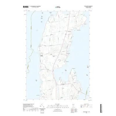
2021 Map of South Hero
USGS Topo · Published 2021About this map
South Hero Island dominates this portion of the northern Lake Champlain archipelago, showcasing a landscape of agricultural heritage and lakeside settlement. The map documents the interior hamlets of South Hero and Grand Isle, connected by the central corridor of Route 2. This area is noted for its numerous historical burial grounds, including the Quaker and Macomber Cem, Hoag Cem, and Grand Isle Cem, which serve as vital markers for local genealogical research.
Find a feature on this map
100 named features on this map. Tap any name to fly to it.
Don’t see what you’re looking for? This feature index may not catch every label — zoom into the map to look around manually.
Map Details
Editions of this 2021 South Hero Map
This is the sole edition of this map. No revisions or reprints were ever made.
Other maps of this area

1894 · Plattsburg
USGS Topo · 1:62,500

1895 · Rouse Point
USGS Topo · 1:62,500

1906 · Plattsburg
USGS Topo · 1:62,500

1907 · Rouse Point
USGS Topo · 1:62,500

1913 · Milton
USGS Topo · 1:48,000

1914 · St. Albans
USGS Topo · 1:48,000

1915 · Milton
USGS Topo · 1:62,500

1916 · St. Albans
USGS Topo · 1:62,500

1939 · Rouses Point
USGS Topo · 1:62,500

1939 · Plattsburg
USGS Topo · 1:62,500