Loading...
Loading map...2022 Map of South Hill
USGS Topo · Published 2022About this map
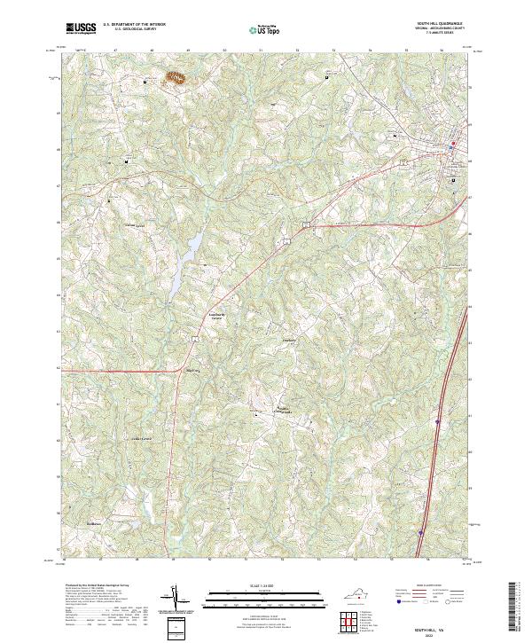
Mecklenburg County's agricultural roots and small-town junctions are centered around Union Level and the western reaches of South Hill. The landscape is defined by the legacy of the regional economy, highlighted by the Tobacco Heritage Trl which follows former rail corridors through the countryside. This modern survey captures the density of rural family burial grounds and community landmarks that anchor the area's genealogy, including Union Level Cem, Zion Cem, and Ephesus Cem.
Find a feature on this map
87 named features on this map. Tap any name to fly to it.
Don’t see what you’re looking for? This feature index may not catch every label — zoom into the map to look around manually.
Map Details
Date Portrayed2022
Date Published2022
PublisherU.S. Geological Survey
Map TypeTopographic
Scale1:24000
Physical Dimensions24 x 29 inches
Editions of this 2022 South Hill Map
This is the sole edition of this map. No revisions or reprints were ever made.
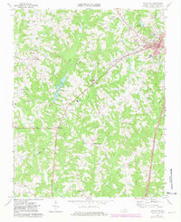
Historical Maps of Union Level Through Time
Featured Locations
Source Details
SourceU.S. Geological Survey
CopyrightPublic Domain