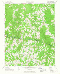
1966 Map of North View
USGS Topo · Published 1967About this map
The Meherrin River carves a winding path through this central Virginia landscape, serving as the natural boundary between Lunenburg and Mecklenburg counties. In the mid-1960s, this rural corridor was defined by small farming communities and historic crossroad settlements such as North View, Bagleys Mills, and Gary. Evidence of local industry and infrastructure is found at Whittles Mill and the nearby Pumping Station, while the rural social fabric is visible through a high density of country churches, including New Grove Ch and Shiloh Ch. The terrain is deeply dissected by numerous watercourses like Crooked Creek, Mason Creek, and Piney Creek, which drain into the main river valley. This survey captures a moment of transition where the Filtration Plant and established river crossings like Saffolds Bridge reflect the modernization of the local countryside.
Find a feature on this map
30 named features on this map. Tap any name to fly to it.
Don’t see what you’re looking for? This feature index may not catch every label — zoom into the map to look around manually.
Map Details
Editions of this 1966 North View Map
4 editions found
Other maps of this area

1953 · Greensboro
USGS Topo · 1:250,000

1954 · Greensboro
USGS Topo · 1:250,000

1955 · Chase City
USGS Topo · 1:62,500

1955 · Kenbridge
USGS Topo · 1:62,500

1955 · Boydton
USGS Topo · 1:62,500

1962 · Greensboro
USGS Topo · 1:250,000

1966 · Greensboro
USGS Topo · 1:250,000
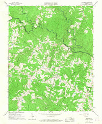
1966 · Wightman
USGS Topo · 1:24,000
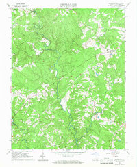
1966 · Lunenburg
USGS Topo · 1:24,000
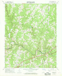
1966 · Forksville
USGS Topo · 1:24,000